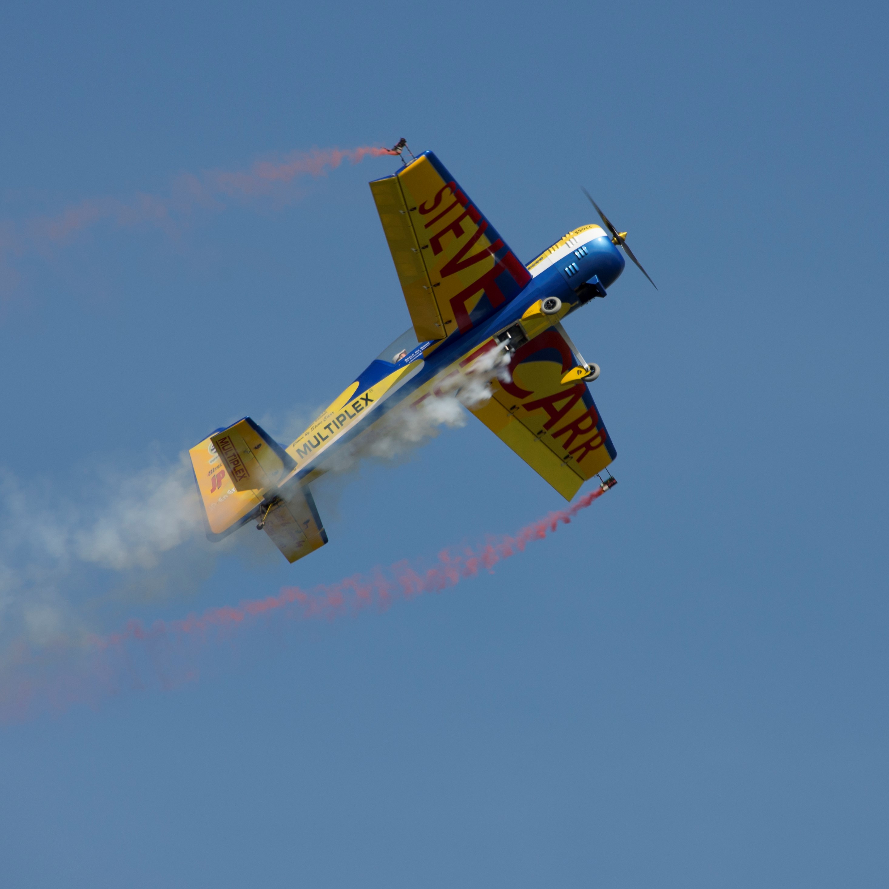
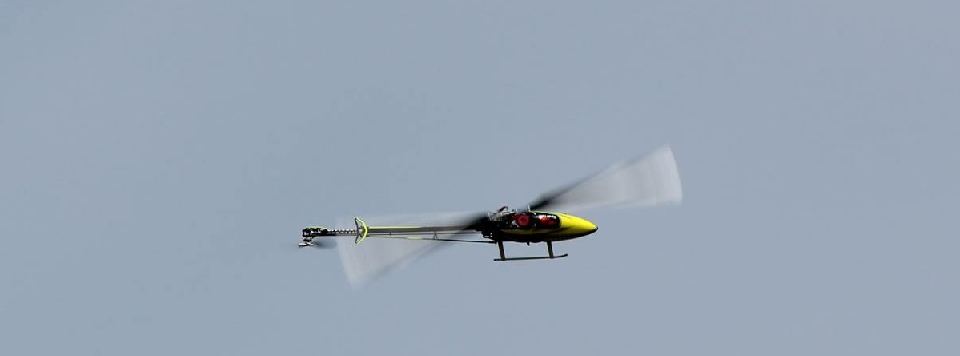
The BMFA is the National Governing Body for the sport of model flying. Its aims are to promote, protect, organise and encourage model flying within the UK. There are over 750 affiliated clubs throughout the UK and a combined membership of almost 30,000 members, all of whom have entered a partnership to ensure that model aircraft and drone flyers have a voice and their rights are recognised by the authorities.
The mandate for the BMFA to do this comes from the Royal Aero Club, dating back to 1922, the Civil Aviation Authority and the UK Sports councils.
The BMFA also represents the UK in the international forum through its recognition by the Federation Aeronautique Internationale (FAI) and its model flying sub committee, Commission Internationale d'Aeromodelisme (CIAM). The BMFA was also a founding member of the European Model Flying Union (EMFU), bringing together model flyers from throughout Europe to ensure that their collective interests are represented when new international regulations are being developed.
WHO RUNS THE BMFA?
The BMFA is controlled by its Annual General Meeting and is administered by a Board of Directors, a Technical Council, an Areas Council, and Area and Technical Committees.
Much of the BMFA’s work is undertaken by a huge network of volunteers supported by a small full-time staff including the Chief Executive, Development Officer, Club Support Officer, and other support staff to further the running of the Association. The staff are available to answer your queries or put you in touch directly with BMFA Officers if necessary.
OBJECTIVES OF THE BMFA
- The promotion, protection, organisation and encouragement of model aircraft building, flying and development in all its aspects in The United Kingdom, through the medium of clubs and individual members; assistance and guidance to model aircraft clubs or individuals; collaboration between members of the Society; and co-operation on behalf of members of the Society with the Civil Aviation Authority or other government departments and any other bodies and organisations in the United Kingdom and overseas.
- To produce, collect and distribute information in connection with model aircraft or the model aircraft movement on such terms as Council shall think fit.
- To encourage and support research in model aircraft design theory and construction.
- To control and record model aircraft performance within the areas under the jurisdiction of the Royal Aero Club.
- To act as promoters of National and International model aircraft meetings, contests and exhibitions; as publishers stationers and booksellers, general traders, dealers agents and manufacturers, both wholesale and retail' of any articles of any description which may assist the development of model aviation;
- To establish and support, financially or otherwise or aid in the establishment and support of any educational scheme or establishment with benefit to the model aircraft movement;
NUMBERS DO COUNT!
The BMFA's strengths are its proven expertise and its membership. Without the backing of its clubs and members we could not have accomplished the many things that have given us national and international credibility and recognition. The sheer weight of numbers of model aircraft fliers we represent has enabled us to be heard at the highest levels. Therefore, we require continuing support as without you the BMFA would not exist: your membership and club affiliation is important so that we can continue to represent the interests of all modellers in the UK.
Major achievements have been: Sports Council recognition, negotiations with the Government and Regulators to preserve the established rights of members in the face of new regulations, the introduction and retention of the 35 Mhz band and more recently the 2.4GhZ band, the protection and retention of flying sites for free flight, indoor and R/C, and the implementation of the National Trust agreement.
We are a respected organisation and can move forward into the future with confidence to promote and protect the sport of model flying in the UK.
OUR MOTTO IS: "UNITED WE ACHIEVE"
United we have achieved and will continue to do so.